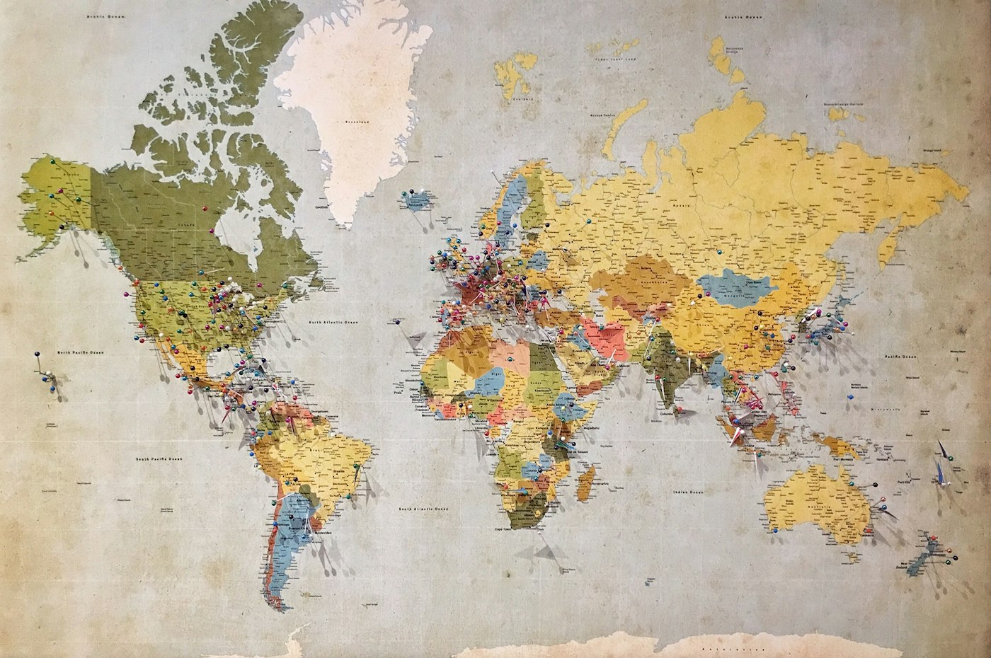
We transform geographic data into actionable insights. From terrain assessments to demographic mapping, our analyses help organisations make informed decisions about land use, development, and regional planning.
Explore Our ServicesThe United Kingdom presents one of the most geologically diverse landscapes in Europe. Within its relatively compact territory lie ancient mountain ranges, fertile lowlands, dramatic coastlines, and urban sprawls that have evolved over millennia of human settlement.

Our work begins where raw data meets practical application. We believe that geographic understanding should inform better decisions — whether that involves selecting sites for renewable energy installations, assessing flood risk for new developments, or mapping demographic shifts in regional populations.
Contemporary geographic analysis requires more than plotting points on a chart. We synthesise satellite imagery, historical records, environmental measurements, and census data to create comprehensive portraits of British regions.
Each project we undertake considers the layered nature of landscape. Physical geography — the hills, rivers, and soil types — interacts with human geography — settlements, transport networks, and land ownership — to create the places we know today.
Ready to see how geographic intelligence can support your project?
Request a ConsultationFrom the chalk downs of the South East to the granite peaks of Scotland, our team has conducted fieldwork across every region of the United Kingdom. This firsthand experience informs analyses that desk-bound research alone cannot provide.
We maintain partnerships with local authorities, conservation bodies, and academic institutions. These relationships ensure our data remains current and our interpretations reflect ground-level realities.
Professional geographic analysis tailored to your requirements
Comprehensive evaluation of topographical features, soil composition, and drainage patterns. Essential for construction planning, agricultural development, and environmental impact assessments.
Population distribution analysis combining census data with geographic factors. Understand how communities relate to their physical environment and identify patterns in settlement development.
Detailed documentation of specific areas including physical features, land use patterns, historical changes, and future projections. Delivered as comprehensive written reports with supporting cartography.
"The regional analysis provided by mist-field proved invaluable for our wind farm feasibility study. Their understanding of local terrain and climate patterns saved us considerable time in the planning stages."
Every engagement begins with understanding your specific questions. Geographic analysis without clear purpose produces data rather than answers. We work to define objectives before gathering information, ensuring efficiency throughout the process.
Our reports avoid jargon where plain language serves better. While we employ sophisticated analytical techniques, our deliverables aim to communicate clearly with non-specialist readers.